Coast to Coast Walkway — Waitematā to Manukau
Elevation profile
How long it takes
- Easy pace (7:00/km)
- 2 h 26 min
- Steady pace (6:00/km)
- 2 h 8 min
- Quick pace (5:00/km)
- 1 h 49 min
An estimate: the pace on flat ground, plus a little extra time for every metre you climb. Work out your own pace with the pace calculator.
Surface & terrain
The run
An 18.5 km point-to-point run from one side of Auckland to the other, based on the Coast to Coast walk. The route starts at Waitematā Station in the city, crosses Auckland Domain, climbs Maungawhau / Mt Eden and Maungakiekie / One Tree Hill, passes Monte Cecilia Park and finishes near Onehunga. It is mostly sealed footpath and park road, with a few gravel and bush sections, and it climbs about 357 m, so it is a hilly long run.
Good to know
This follows the course MetroRun lists for its group run from Onehunga Train Station. Onehunga Train Station is close to the finish and trains run between Onehunga and Waitematā, so you can take the train to the start and run back. Tag on and off with a Hop card or contactless payment. MetroRun's map marks public toilets and drinking fountains along the way.
- Toilets
- Water fountains
- Best time: Anytime
FAQs
Where does the Coast to Coast Walkway — Waitematā to Manukau start?
The route starts at Waitematā Station, Britomart, Auckland city.
How long is the Coast to Coast Walkway — Waitematā to Manukau?
18.5 km (point-to-point).
More routes in Auckland
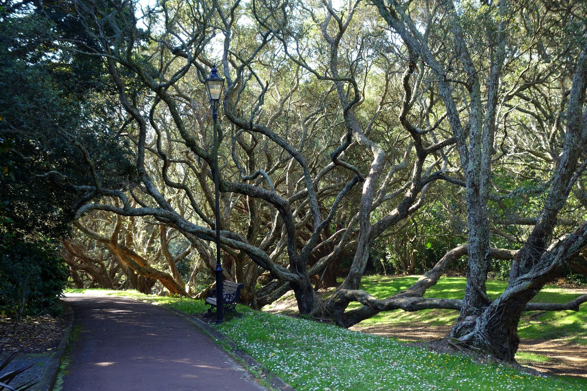 Road
Auckland Domain Lovers Path — Parnell
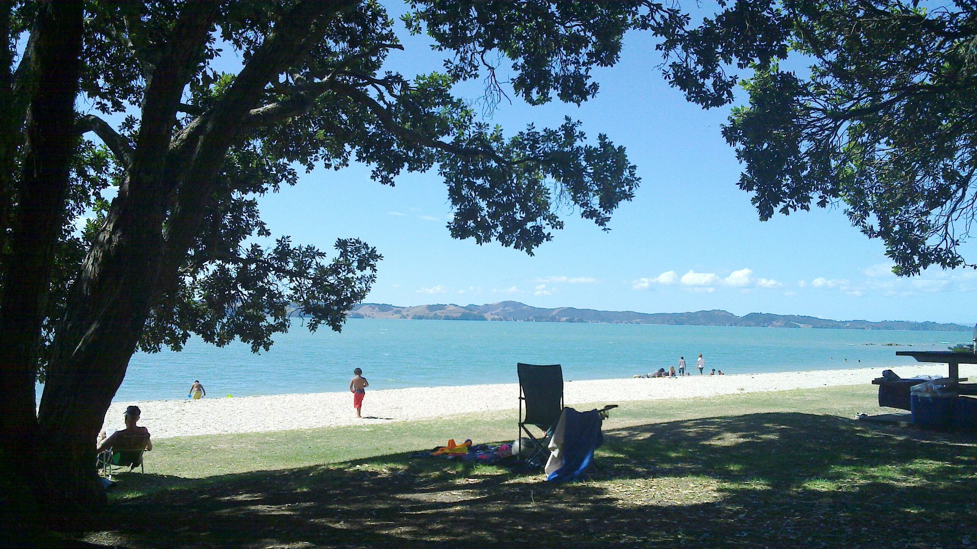 Road
Beachlands-Maraetai Walkway — Maraetai Wharf
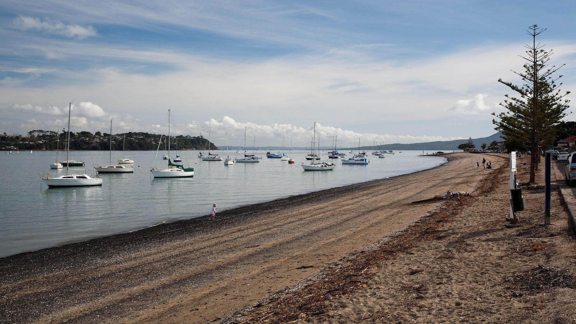 Road
Bucklands Beach to Panmure Basin — The Parade
Running something soon?
Get new NZ races and practical running ideas in The Start Line by NZ Running, one email a week.