Pakuranga Rotary Walkway — Tāmaki Estuary
Elevation profile
How long it takes
- Easy pace (7:00/km)
- 36 min
- Steady pace (6:00/km)
- 31 min
- Quick pace (5:00/km)
- 26 min
An estimate: the pace on flat ground, plus a little extra time for every metre you climb. Work out your own pace with the pace calculator.
Surface & terrain
The run
A 5 km walkway along the edge of the Tāmaki Estuary and Wakaaranga Creek, between Pigeon Mountain and Pakuranga Road. Auckland Council says you can walk, jog or cycle, and that the path is suitable for wheelchairs, pushchairs and a range of fitness levels. Entry points include Pigeon Mountain, Prince Regent Drive, Estelle Place, Rapallo Place, Bramley Drive, Fisher Parade and Rotary Reserve at Pakuranga Road.
Good to know
Checked 20 Nov 2026 on the Auckland Council walkway page: 5 km; no closure was listed. Dogs must be under control on the walkway and are prohibited on sports fields or near children's playgrounds. This is a separate official path from the Bucklands Beach Path.
- Best time: Anytime
FAQs
Where does the Pakuranga Rotary Walkway — Tāmaki Estuary start?
The route starts at Pigeon Mountain / Ōhuiarangi, towards Pakuranga Road.
How long is the Pakuranga Rotary Walkway — Tāmaki Estuary?
5 km (point-to-point).
More routes in Auckland
 Road
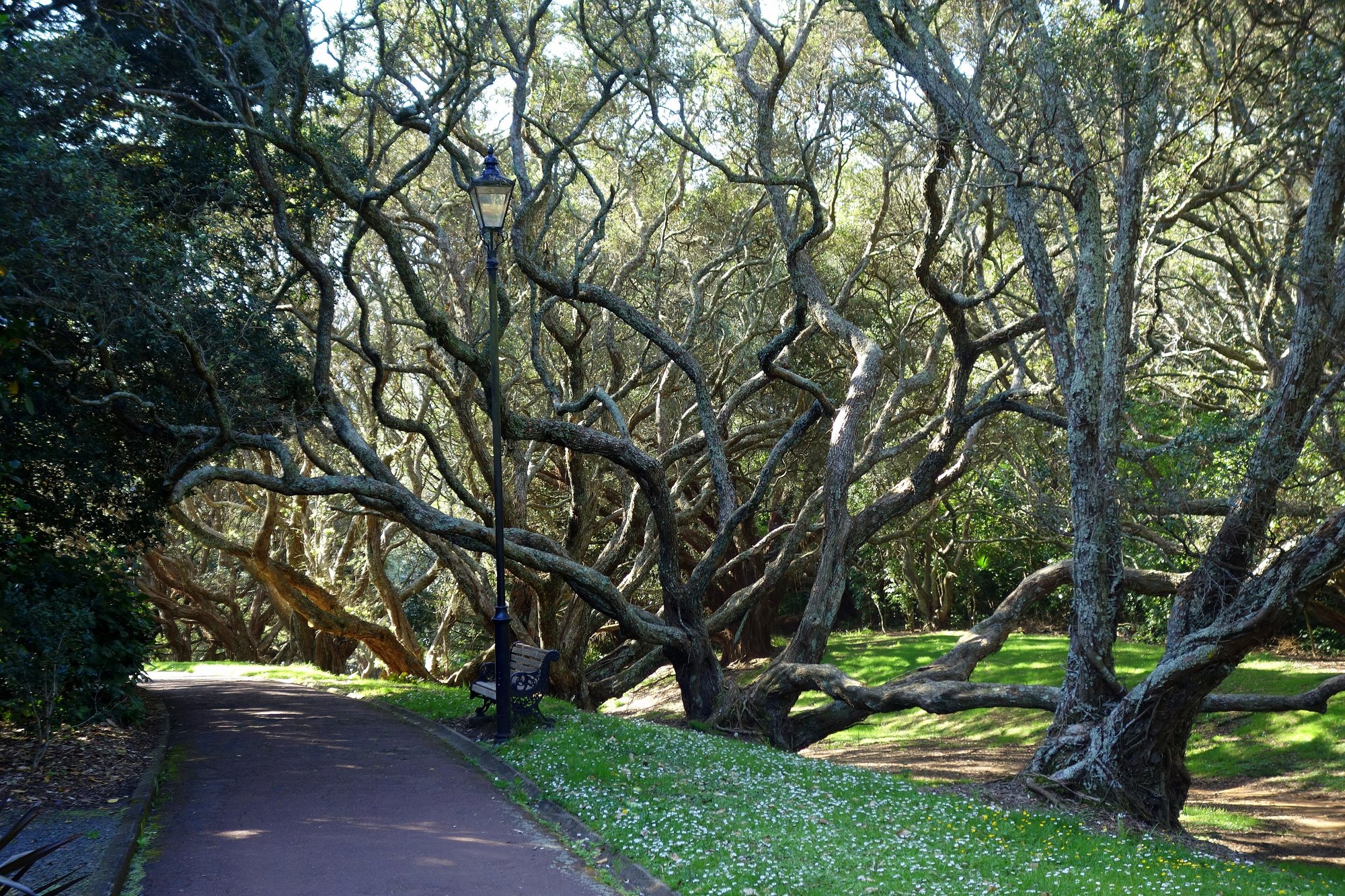
Auckland Domain Lovers Path — Parnell
 Road
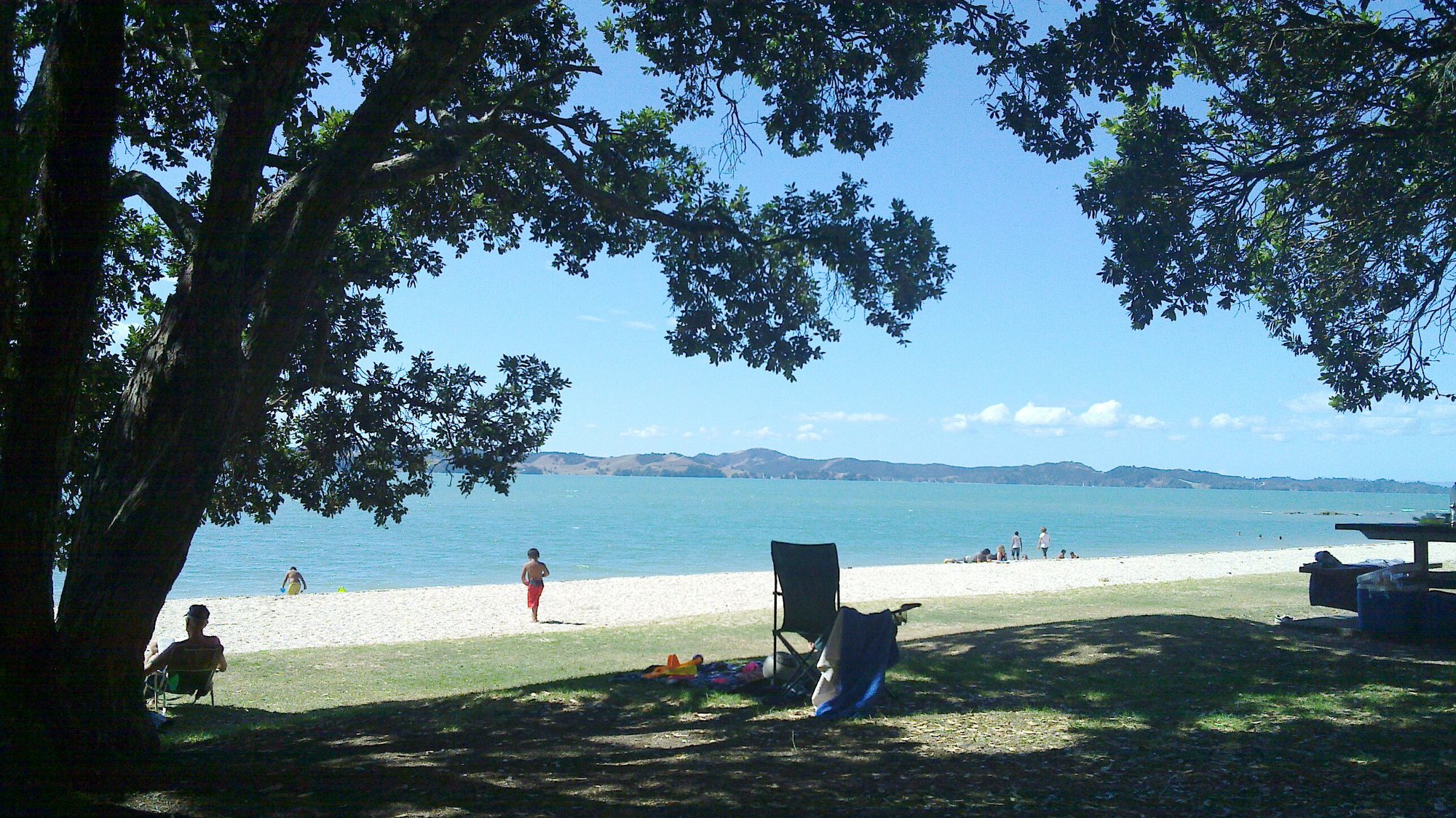
Beachlands-Maraetai Walkway — Maraetai Wharf
 Road
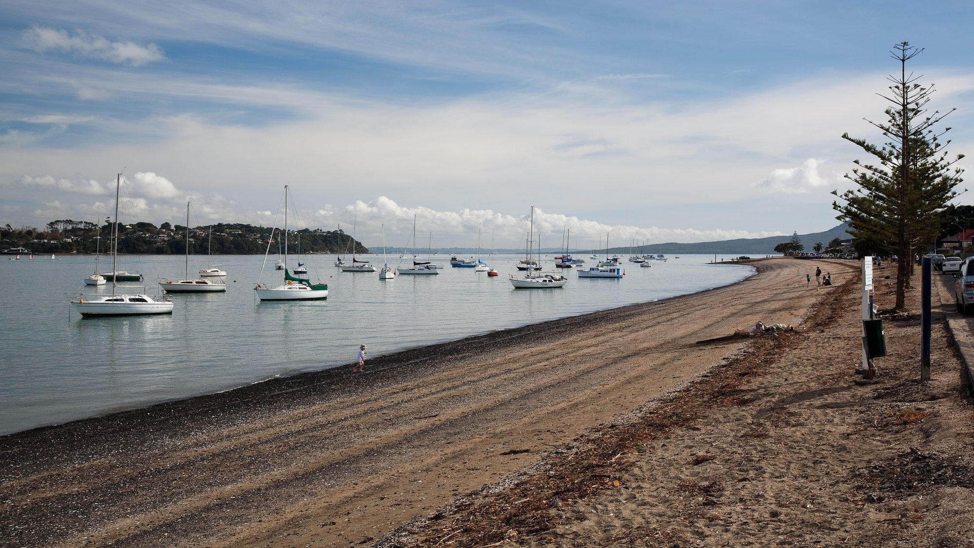
Bucklands Beach to Panmure Basin — The Parade
Running something soon?
Get new NZ races and practical running ideas in The Start Line by NZ Running, one email a week.