Watercare Coastal Walkway — Ambury to Ōtuataua
Elevation profile
How long it takes
- Easy pace (7:00/km)
- 2 h 48 min
- Steady pace (6:00/km)
- 2 h 25 min
- Quick pace (5:00/km)
- 2 h 1 min
An estimate: the pace on flat ground, plus a little extra time for every metre you climb. Work out your own pace with the pace calculator.
Surface & terrain
The run
A flat 23.8 km out-and-back along the Manukau Harbour foreshore. The run starts at the Māngere Boating Club on Kiwi Esplanade, heads south through Ambury Regional Park and loops around Māngere Lagoon, then carries on along the Watercare Coastal Walkway towards the Ōtuataua Stonefields before returning the same way. It is almost entirely off the road and climbs only about 40 m in total, which makes it a good steady long run. Turning back at the lagoon gives about 13 km, and you can add the Onehunga coastal path to the north for extra distance.
Good to know
This follows the course MetroRun lists for its group run from the Māngere Boating Club. Its listed turn-back points give roughly 13, 21 and 32 km. MetroRun's map marks public toilets along the route, but shows no drinking fountains, so carry water for the southern end. Dogs are not permitted on the Watercare walkway. Most of the surface is compacted gravel, with some sealed footpath near the start and a few short boardwalk sections.
- Toilets
- Dogs: No
- Best time: Anytime
FAQs
Where does the Watercare Coastal Walkway — Ambury to Ōtuataua start?
The route starts at Māngere Boating Club, Kiwi Esplanade, Māngere Bridge.
How long is the Watercare Coastal Walkway — Ambury to Ōtuataua?
23.8 km (out & back).
More routes in Auckland
 Road
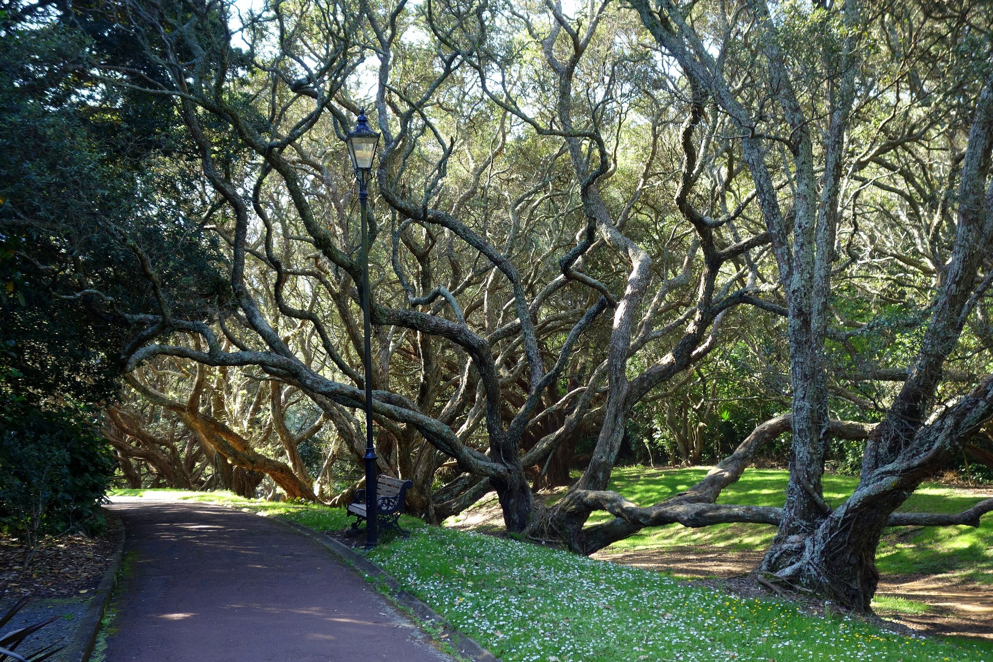
Auckland Domain Lovers Path — Parnell
 Road
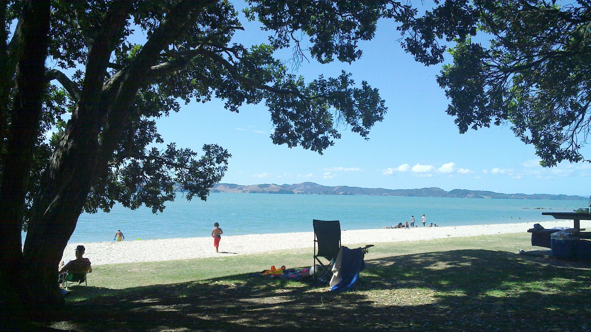
Beachlands-Maraetai Walkway — Maraetai Wharf
 Road
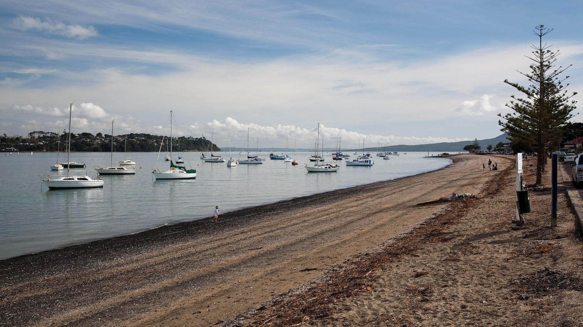
Bucklands Beach to Panmure Basin — The Parade
Running something soon?
Get new NZ races and practical running ideas in The Start Line by NZ Running, one email a week.