Bridle Path — Heathcote to the Port Hills
Elevation profile
How long it takes
- Easy pace (7:00/km)
- 51 min
- Steady pace (6:00/km)
- 46 min
- Quick pace (5:00/km)
- 41 min
An estimate: the pace on flat ground, plus a little extra time for every metre you climb. Work out your own pace with the pace calculator.
The run
A 5 km out-and-back up the Bridle Path, the track the early settlers used to cross from Lyttelton to Christchurch. From the gondola car park in Heathcote it climbs about 320 m on a wide, steep, part-rocky track to the saddle on the Summit Road, where a stone shelter looks down over Lyttelton Harbour. It is a pure climb and descent, which makes it a good hill session.
Good to know
Park at the gondola car park at the bottom of Bridle Path Road. The track is steep enough that most people walk sections of it, and the loose surface needs care on the way down. There is no water or shade. From the top you can drop down the other side to Lyttelton and take the No. 28 bus back. The council closes Port Hills tracks on days of extreme fire danger.
- Parking: Free
- Dogs: On-leash
- Best time: Early AM
FAQs
Where does the Bridle Path — Heathcote to the Port Hills start?
The route starts at Christchurch Gondola car park, Bridle Path Road.
How long is the Bridle Path — Heathcote to the Port Hills?
5 km (out & back).
More routes in Christchurch
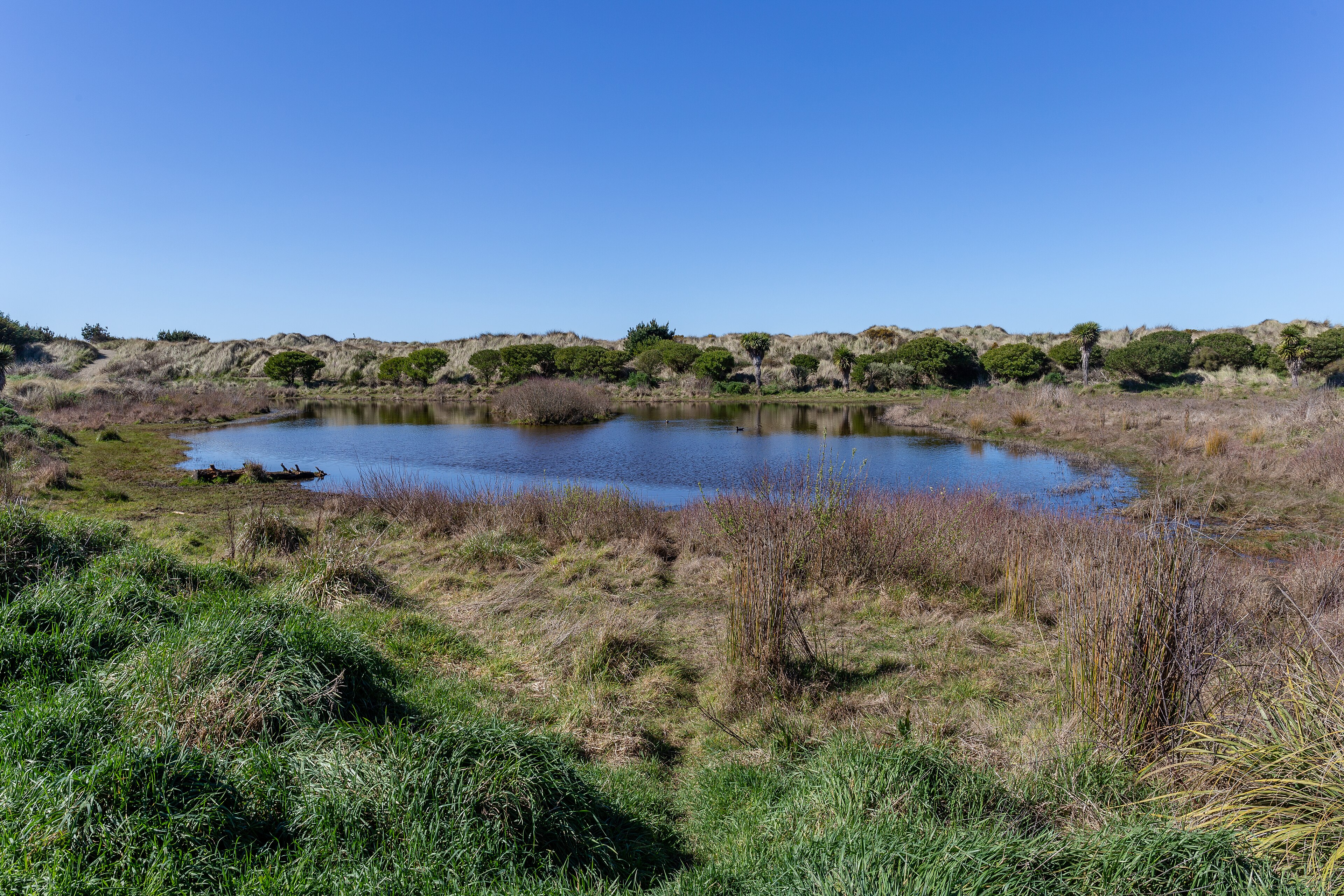 Trail
Bottle Lake Forest Blue Track
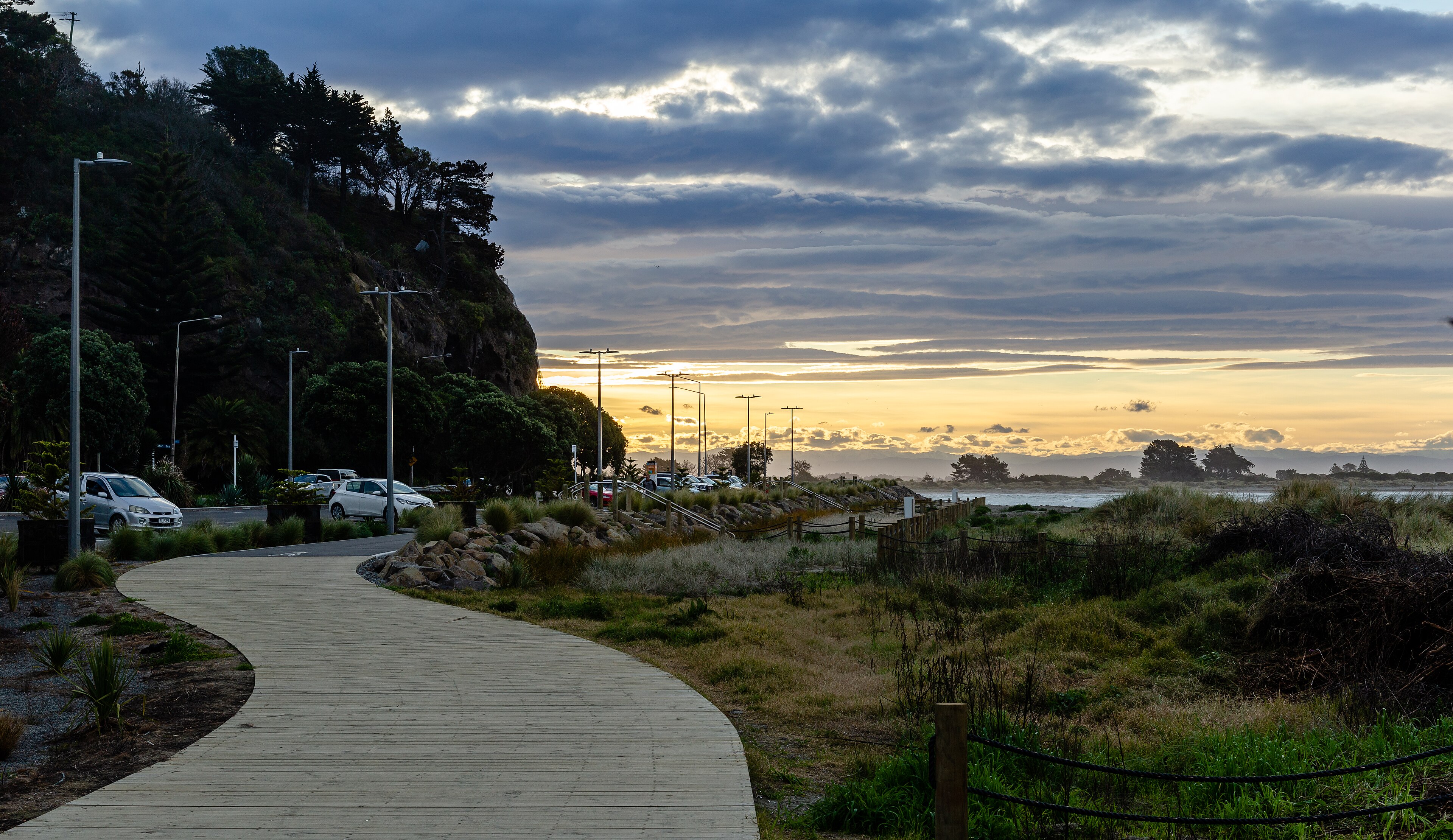 Road
Christchurch Coastal Pathway — Ferrymead to Scarborough
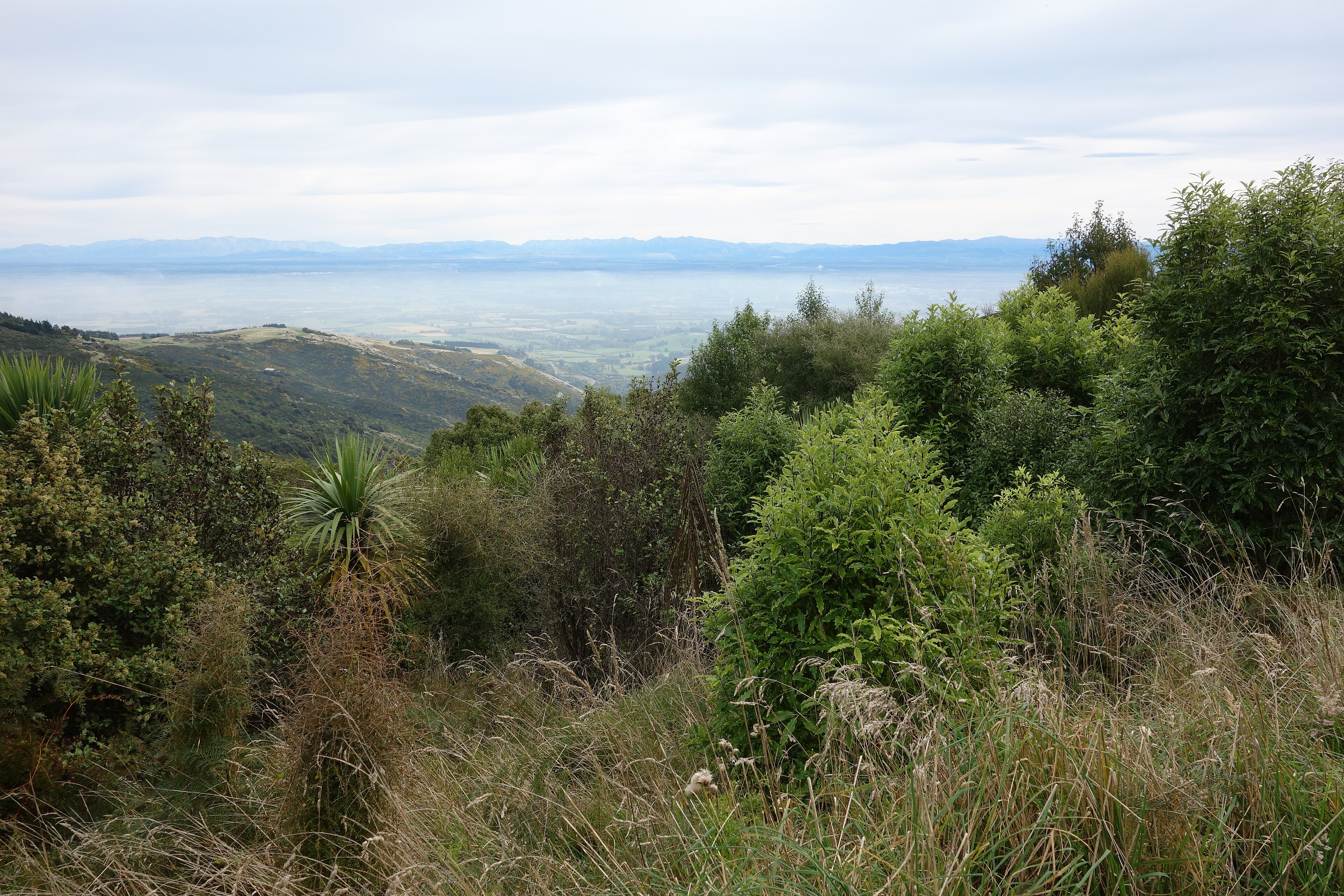 Trail
Crater Rim — Sign of the Kiwi to Sign of the Bellbird
Running something soon?
Get new NZ races and practical running ideas in The Start Line by NZ Running, one email a week.