Sawpit Gully Loop — Arrowtown
Elevation profile
How long it takes
- Easy pace (7:00/km)
- 1 h 3 min
- Steady pace (6:00/km)
- 57 min
- Quick pace (5:00/km)
- 50 min
An estimate: the pace on flat ground, plus a little extra time for every metre you climb. Work out your own pace with the pace calculator.
The run
A 6.7 km loop into the hills behind Arrowtown, run anticlockwise from the Chinese Settlement: up the Arrow River gorge track, climbing into Sawpit Gully and over the high ground with views back over the Wakatipu basin, then down to Bush Creek and back into town. About 330 m of climbing on narrow, rocky trail.
Good to know
Anticlockwise is the easier direction. There is rock-hopping through a creek and a traverse high above the Arrow River, and the track gets muddy and slippery after rain, so wear grippy shoes. Dogs must be on a lead. Take water: there is none on the loop.
- Parking: Free
- Dogs: On-leash
- Best time: Early AM
FAQs
Where does the Sawpit Gully Loop — Arrowtown start?
The route starts at Arrowtown Chinese Settlement.
How long is the Sawpit Gully Loop — Arrowtown?
6.7 km (loop).
More routes in Queenstown
 Trail
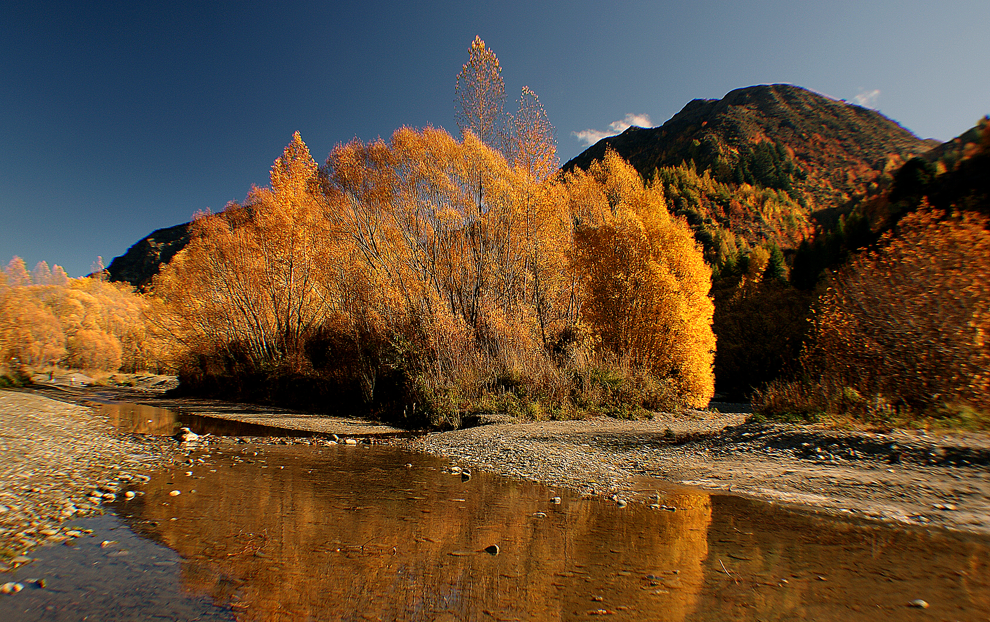
Arrow River Trail — Arrowtown
 Trail
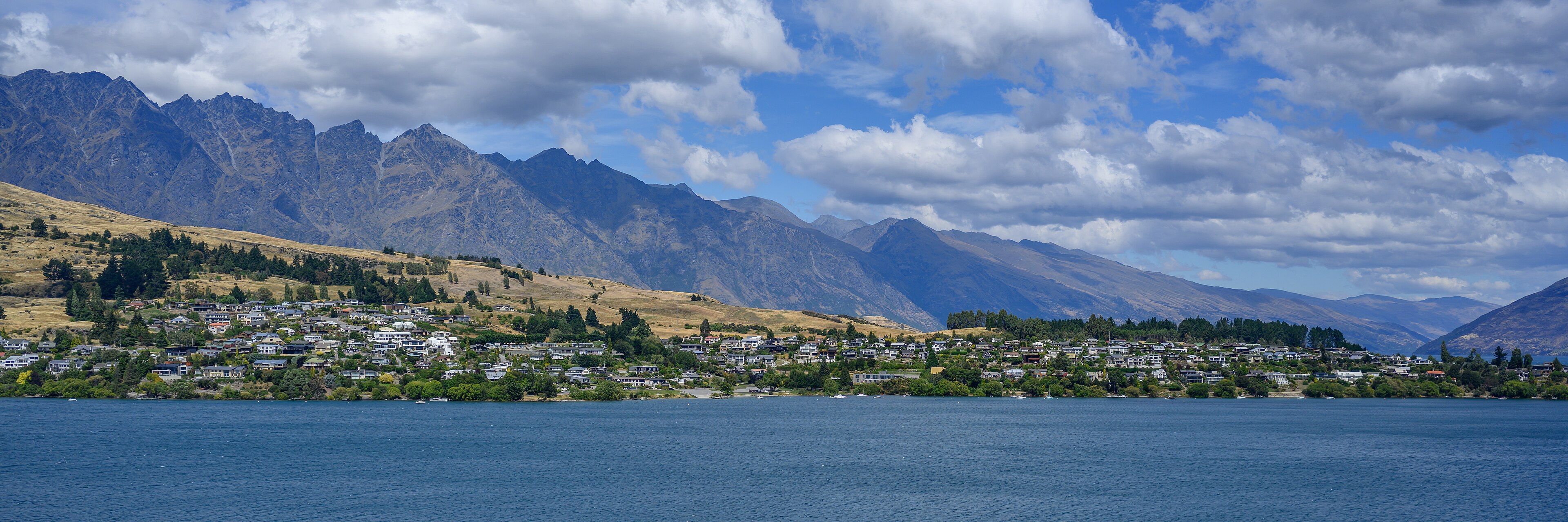
Kelvin Peninsula Trail — Kawarau Falls to Kelvin Heights
 Trail
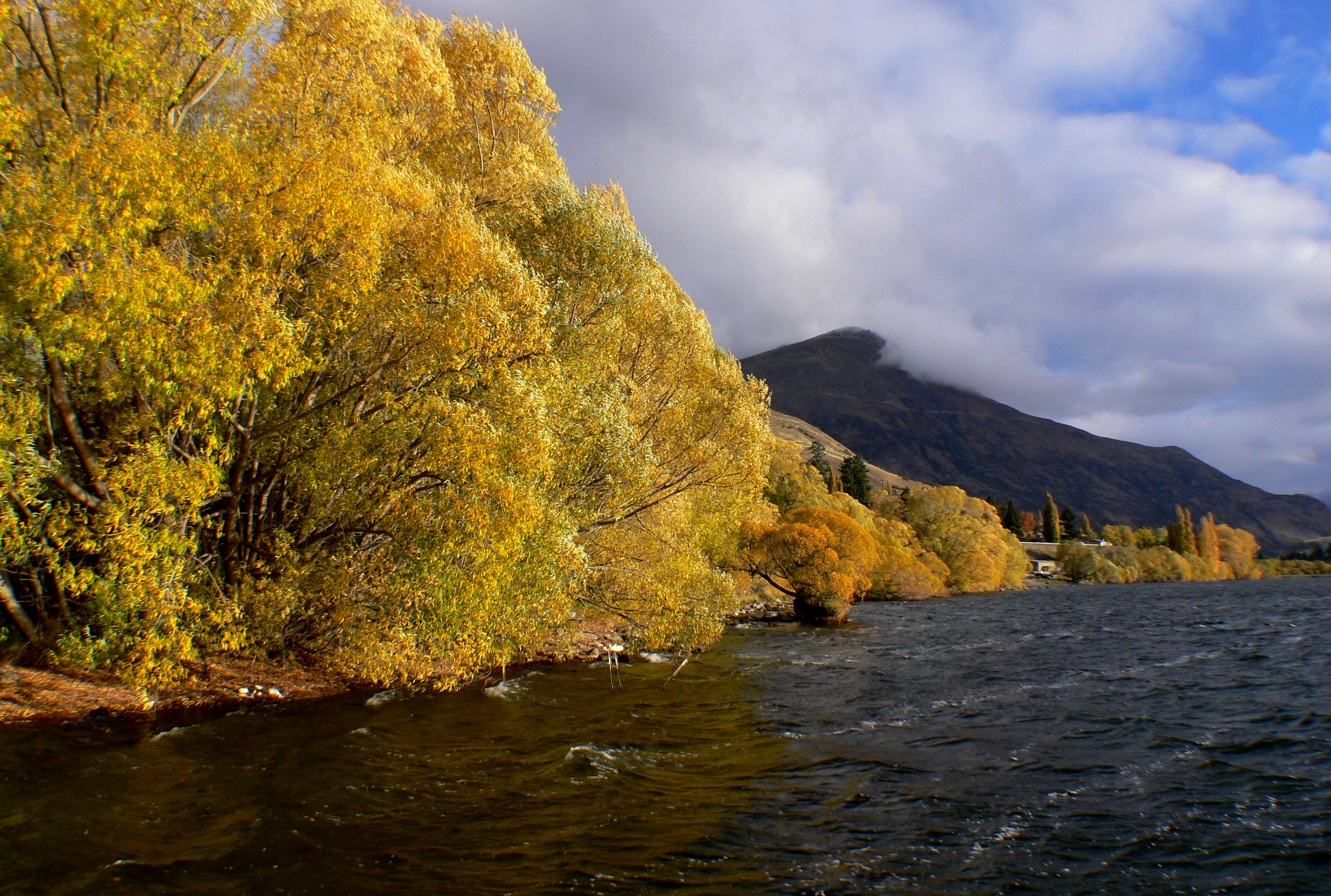
Lake Hayes Loop — Lake Hayes
Running something soon?
Get new NZ races and practical running ideas in The Start Line by NZ Running, one email a week.