Rangitoto Summit Track
Elevation profile
How long it takes
- Easy pace (7:00/km)
- 46 min
- Steady pace (6:00/km)
- 41 min
- Quick pace (5:00/km)
- 36 min
An estimate: the pace on flat ground, plus a little extra time for every metre you climb. Work out your own pace with the pace calculator.
The run
A 4.9 km out-and-back from the ferry wharf to the summit of Rangitoto, Auckland's youngest volcano. The Summit Track climbs gradually through pōhutukawa forest growing out of the lava fields, then steps up to the crater rim and the summit, about 230 m above the wharf, with the whole of Auckland laid out across the water.
Good to know
The only way there is the ferry from downtown Auckland (about 25 minutes) or a kayak; check the last ferry back before you start. There is no water on the island, so carry what you need. The lava is rough and sharp: wear proper shoes. Rangitoto is pest-free and dogs are not allowed; check your bag for seeds, soil and pests before you board. There are no rubbish bins.
- Parking: None
- Dogs: No
- Best time: Off-peak
FAQs
Where does the Rangitoto Summit Track start?
The route starts at Rangitoto Wharf (ferry from Auckland).
How long is the Rangitoto Summit Track?
4.9 km (out & back).
More routes in Auckland
 Road
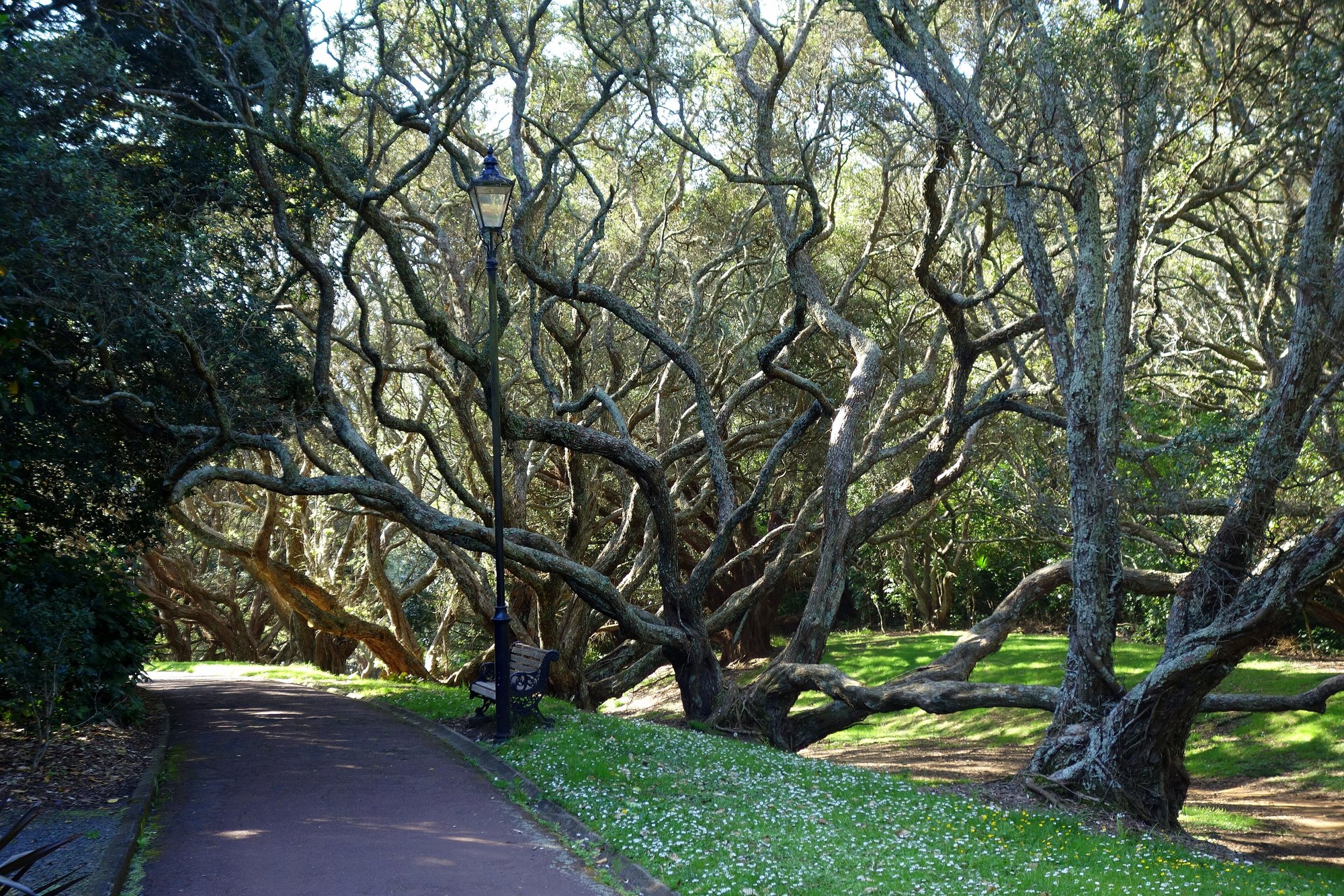
Auckland Domain Lovers Path — Parnell
 Road
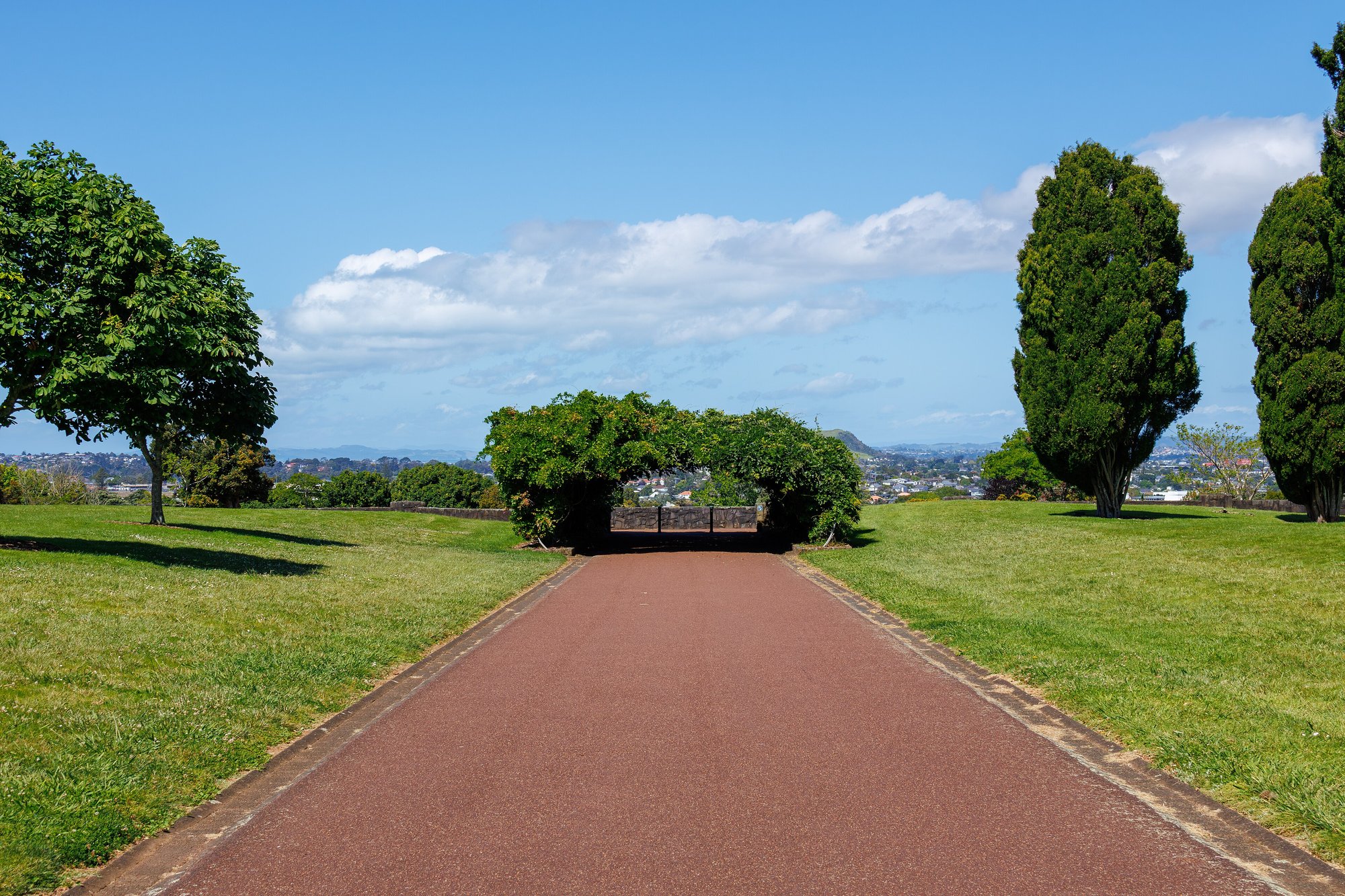
Cornwall Park loop from Epsom
 Road
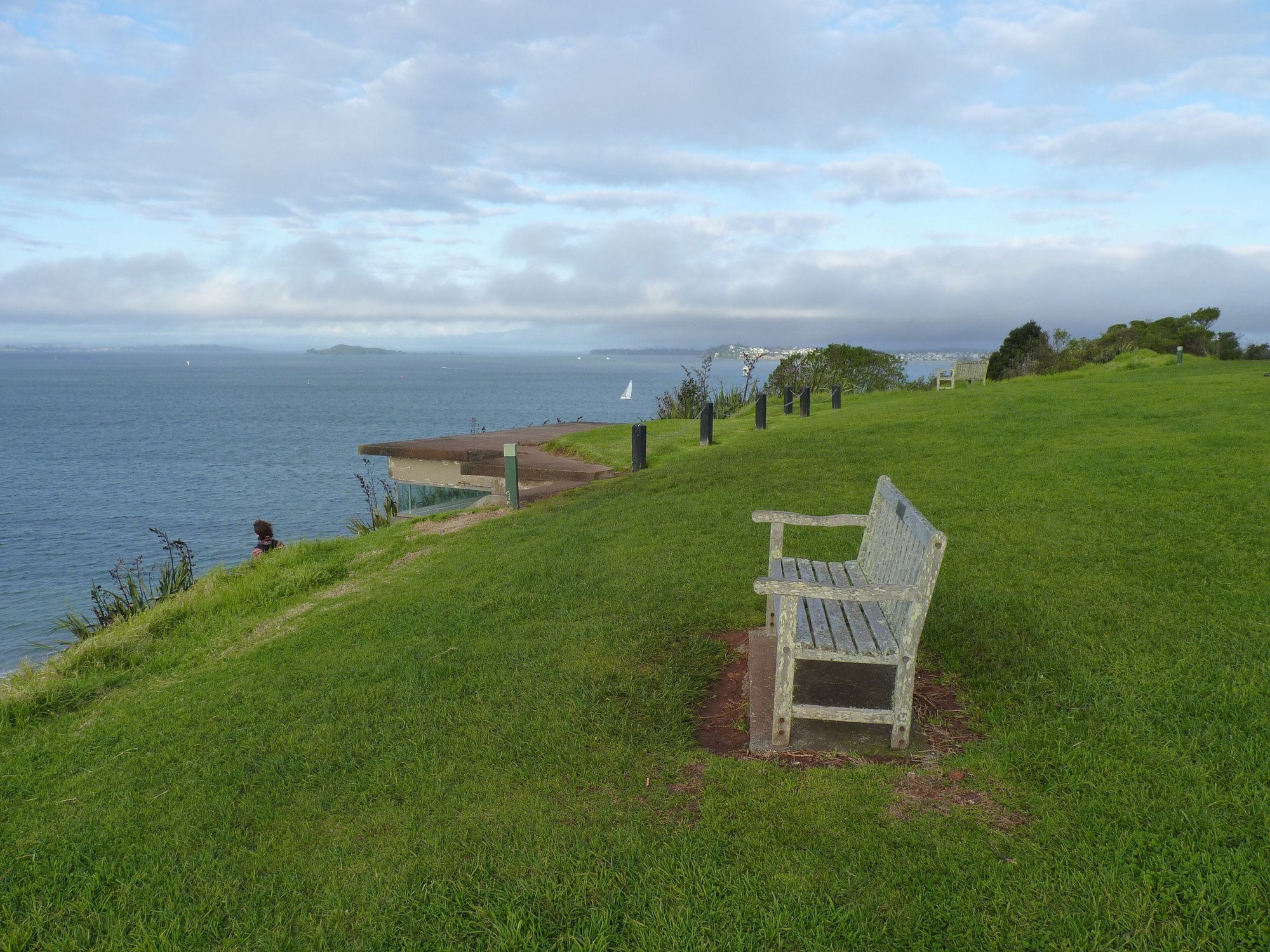
Devonport Waterfront to Maungauika / North Head — Devonport
Running something soon?
Get new NZ races and practical running ideas in The Start Line by NZ Running, one email a week.