Harry Ell Walkway — Victoria Park to Sign of the Kiwi
Elevation profile
How long it takes
- Easy pace (7:00/km)
- 31 min
- Steady pace (6:00/km)
- 28 min
- Quick pace (5:00/km)
- 25 min
An estimate: the pace on flat ground, plus a little extra time for every metre you climb. Work out your own pace with the pace calculator.
The run
A 3.1 km out-and-back on the Harry Ell Walkway, from Victoria Park up the Port Hills to the Sign of the Kiwi on Dyers Pass Road. It climbs about 180 m on a well-formed track through the park's forest, with the city opening up behind you. Join it to the Crater Rim Walkway at the top for a longer run.
Good to know
There are toilets at both ends. Dogs must be on a lead. The track is well formed but has steady climbing all the way up. The council closes Port Hills tracks on days of extreme fire danger, so check before you go in summer.
- Parking: Free
- Toilets
- Dogs: On-leash
- Best time: Early AM
FAQs
Where does the Harry Ell Walkway — Victoria Park to Sign of the Kiwi start?
The route starts at Victoria Park, Victoria Park Road.
How long is the Harry Ell Walkway — Victoria Park to Sign of the Kiwi?
3.1 km (out & back).
More routes in Christchurch
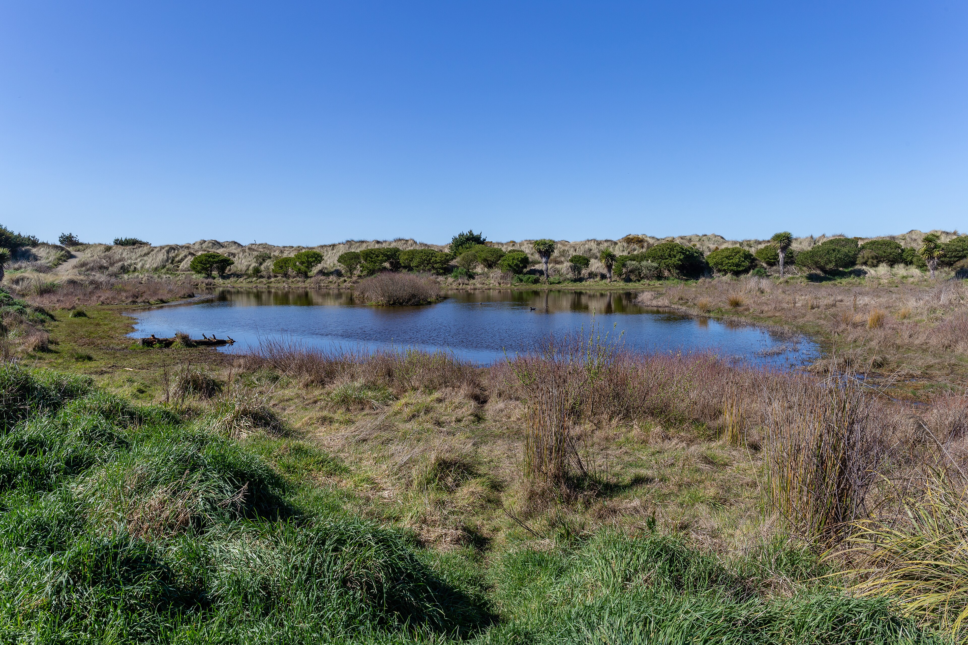 Trail
Bottle Lake Forest Blue Track
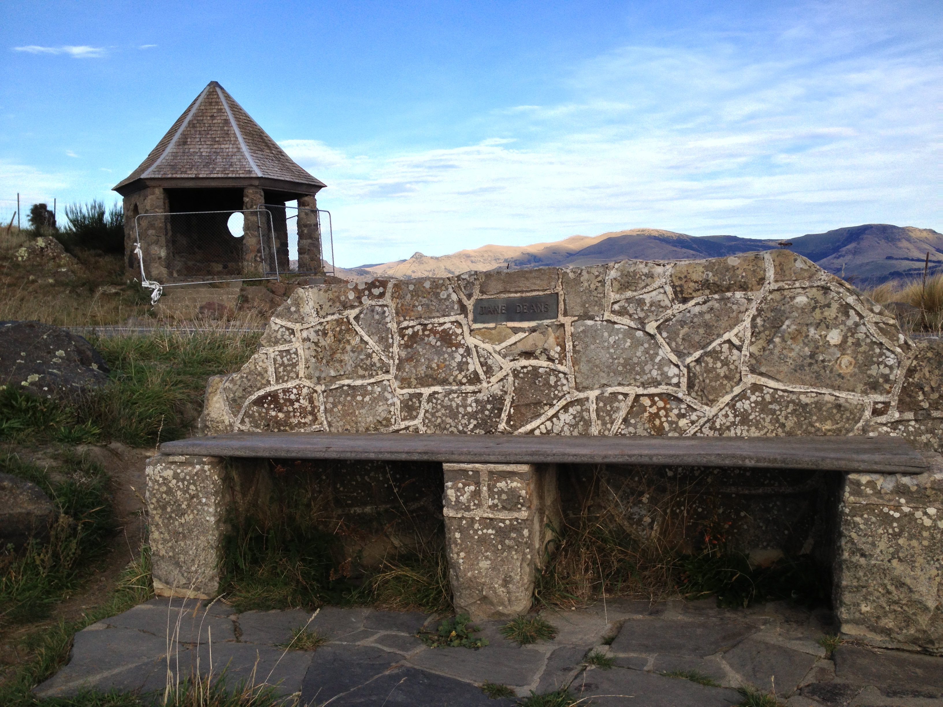 Trail
Bridle Path — Heathcote to the Port Hills
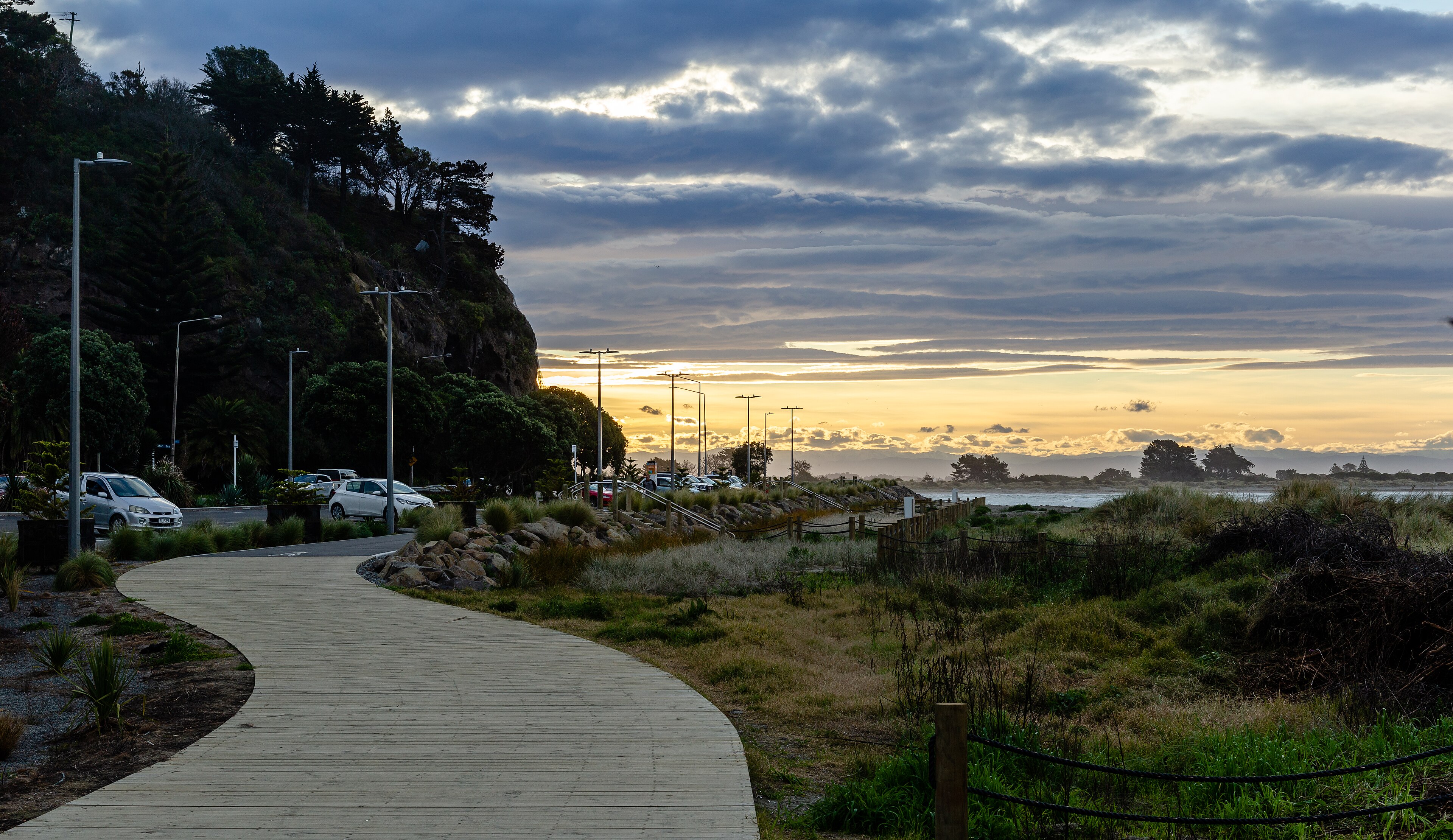 Road
Christchurch Coastal Pathway — Ferrymead to Scarborough
Running something soon?
Get new NZ races and practical running ideas in The Start Line by NZ Running, one email a week.