Butterfly Creek — Eastbourne
Elevation profile
How long it takes
- Easy pace (7:00/km)
- 54 min
- Steady pace (6:00/km)
- 49 min
- Quick pace (5:00/km)
- 43 min
An estimate: the pace on flat ground, plus a little extra time for every metre you climb. Work out your own pace with the pace calculator.
The run
A 5.3 km out-and-back in East Harbour Regional Park, from the end of Kowhai Street in Eastbourne over the ridge and down to Butterfly Creek, a sheltered grassy flat in beech forest. It climbs about 335 m in total: up through the bush to the ridge junction, down to the creek, then back the same way. Shaded almost the whole way, it is a good choice on a hot or windy day.
Good to know
There is a toilet and picnic tables at Butterfly Creek, and nothing on the way. Dogs must be on a lead. The track is steep and rooty in places and slippery after rain. Buses run to Eastbourne from Wellington, and the harbour ferry stops at nearby Days Bay.
- Parking: Free
- Toilets
- Dogs: On-leash
- Best time: Anytime
FAQs
Where does the Butterfly Creek — Eastbourne start?
The route starts at End of Kowhai Street, Eastbourne.
How long is the Butterfly Creek — Eastbourne?
5.3 km (out & back).
More routes in Wellington
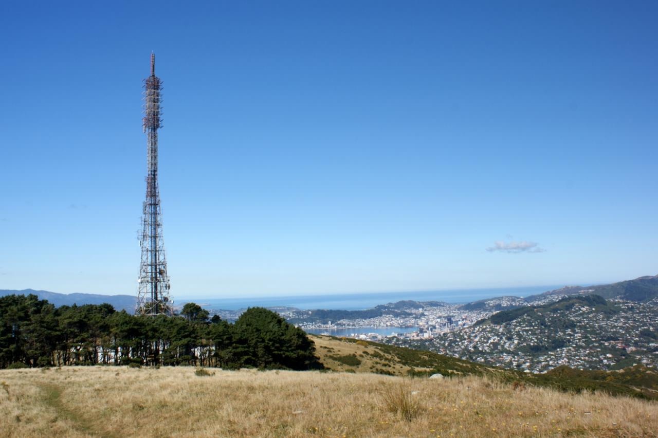 Trail
Mount Kaukau from Khandallah Park — Khandallah
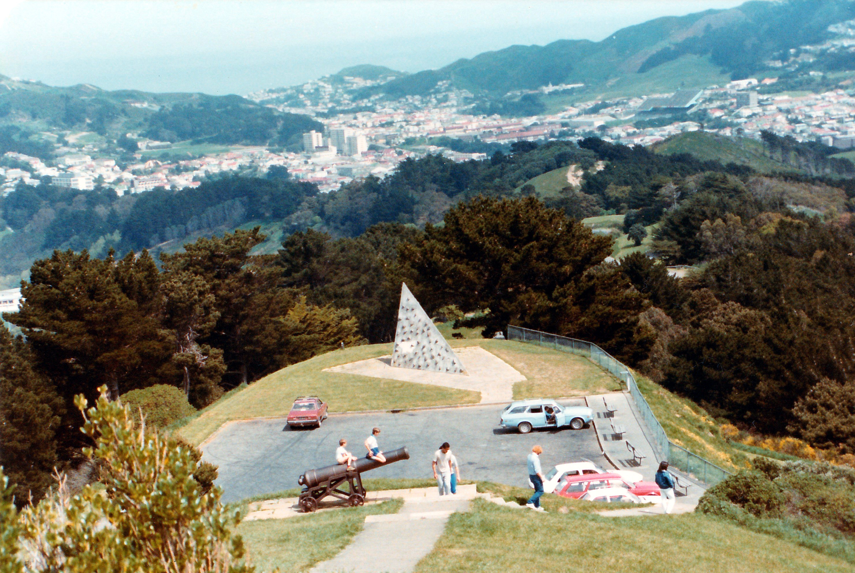 Trail
Mount Victoria Lookout Loop — Oriental Bay
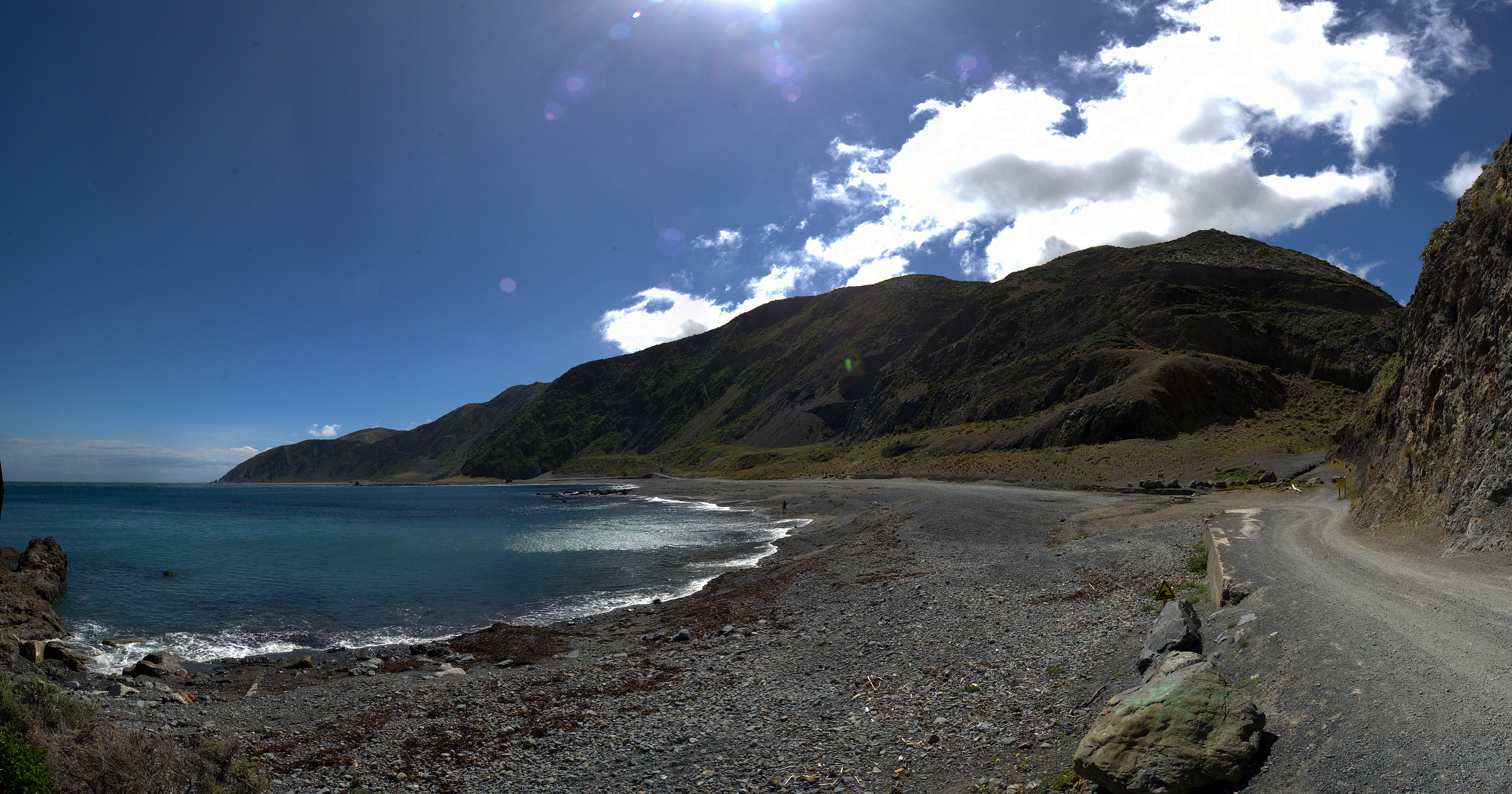 Trail
Red Rocks Coastal Walk — Ōwhiro Bay
Running something soon?
Get new NZ races and practical running ideas in The Start Line by NZ Running, one email a week.