Skyline Walkway — Mt Kaukau to Johnston Hill
Elevation profile
How long it takes
- Easy pace (7:00/km)
- 1 h 31 min
- Steady pace (6:00/km)
- 1 h 22 min
- Quick pace (5:00/km)
- 1 h 12 min
An estimate: the pace on flat ground, plus a little extra time for every metre you climb. Work out your own pace with the pace calculator.
The run
A 9.4 km ridge run on the middle section of the Skyline Walkway: up from Khandallah to the Mt Kaukau mast, then south along the open tops above Crofton Downs and Karori to Johnston Hill, finishing on Penlington Place. It climbs about 500 m in total, most of it in the first two kilometres, and the views run from the harbour to the South Island on a clear day.
Good to know
The ridgeline is fully exposed: wind, cloud and cold arrive quickly, and there is no shelter, toilet or water anywhere on it. Purple markers show the way. Dogs must be on a lead outside the signed exercise areas. The full walkway runs about 18 km from Churton Park to Makara Saddle if you want more. Plan a lift or a bus back from Karori.
- Parking: Free
- Dogs: On-leash
- Best time: Early AM
FAQs
Where does the Skyline Walkway — Mt Kaukau to Johnston Hill start?
The route starts at Woodmancote Road, Khandallah.
How long is the Skyline Walkway — Mt Kaukau to Johnston Hill?
9.4 km (point-to-point).
More routes in Wellington
Butterfly Creek — Eastbourne
 Trail
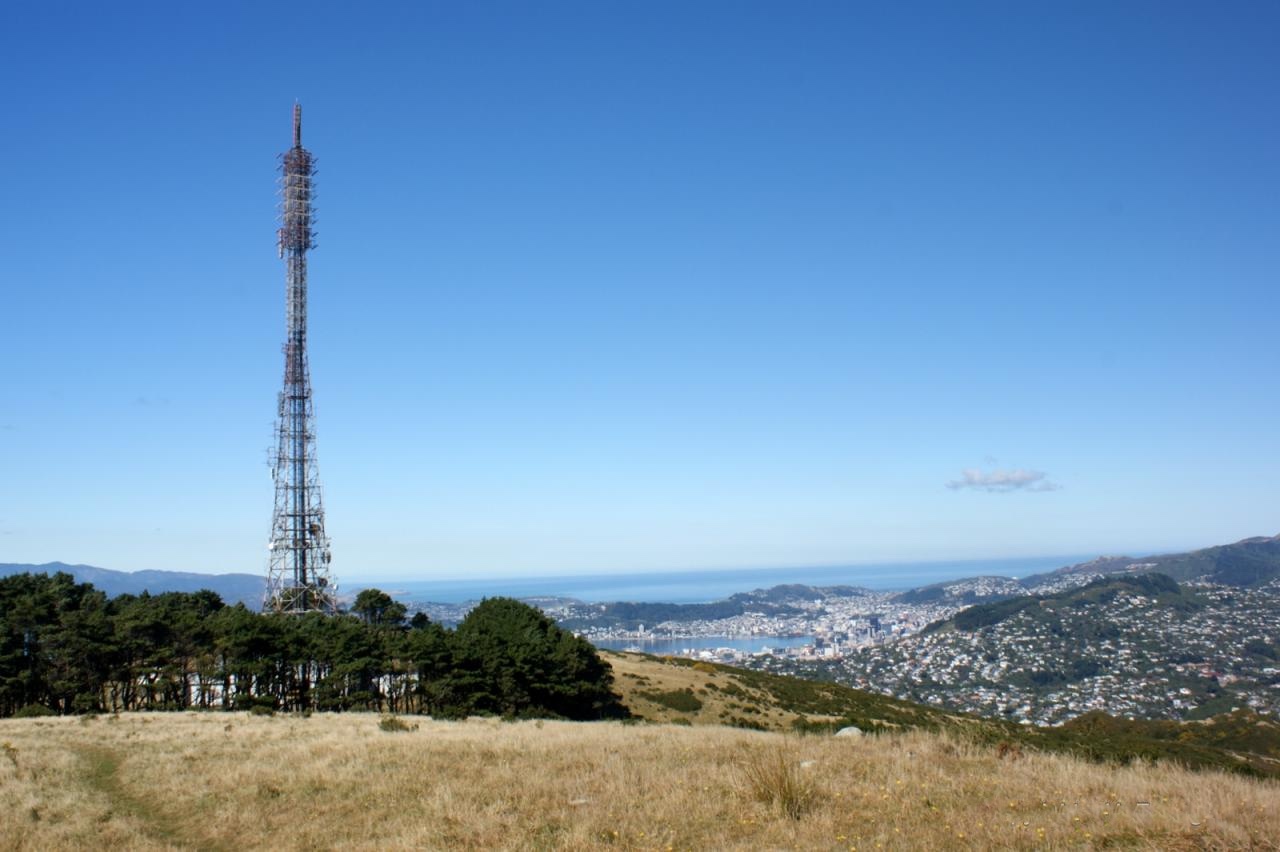
Mount Kaukau from Khandallah Park — Khandallah
 Trail
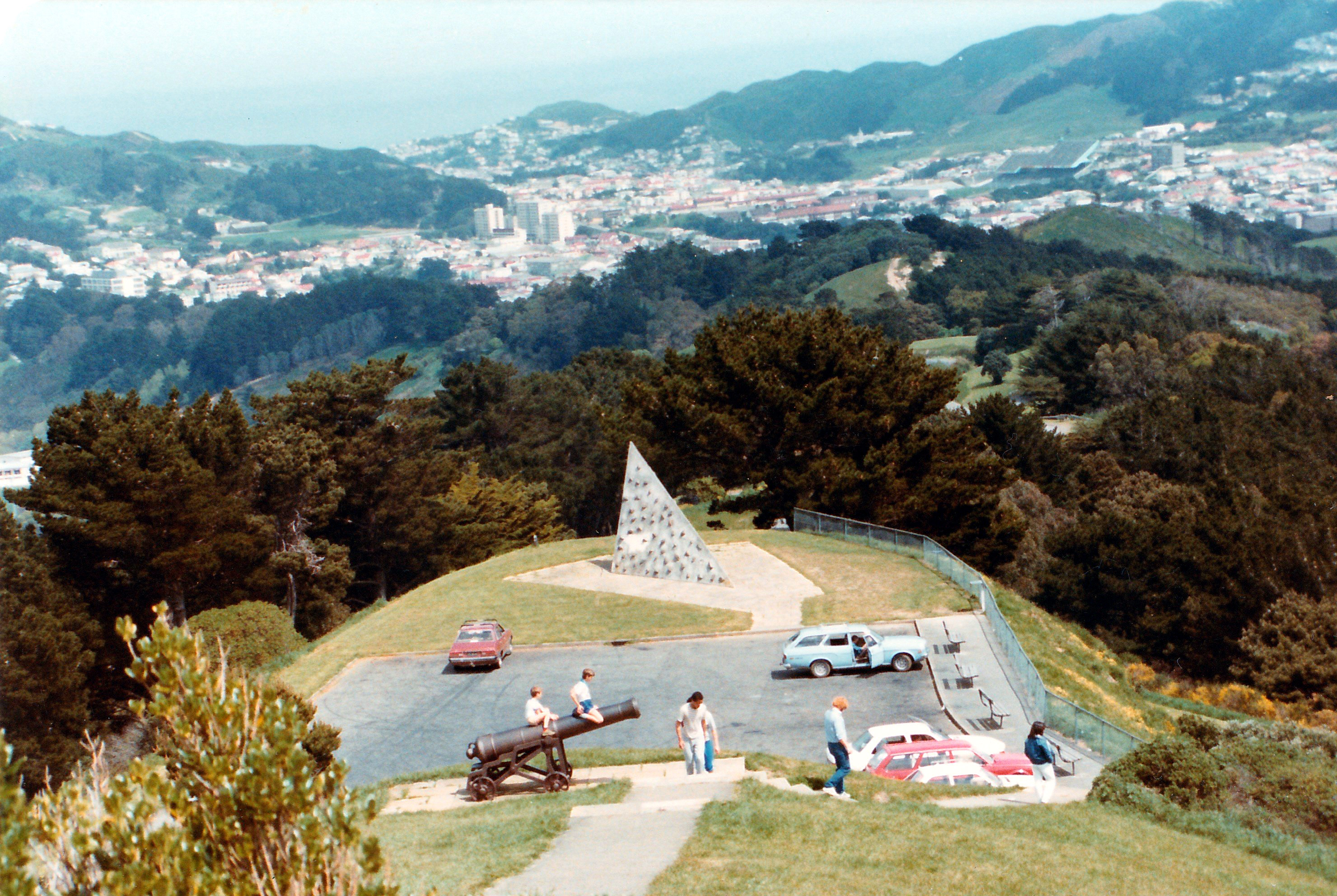
Mount Victoria Lookout Loop — Oriental Bay
Running something soon?
Get new NZ races and practical running ideas in The Start Line by NZ Running, one email a week.