Te Ahumairangi Hill Lookout — Thorndon
Elevation profile
How long it takes
- Easy pace (7:00/km)
- 30 min
- Steady pace (6:00/km)
- 27 min
- Quick pace (5:00/km)
- 25 min
An estimate: the pace on flat ground, plus a little extra time for every metre you climb. Work out your own pace with the pace calculator.
The run
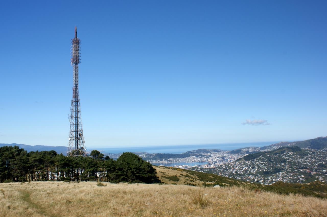
A short, steep 2.6 km out-and-back from the top of St Mary Street in Thorndon to the lookout on Te Ahumairangi Hill, climbing about 240 m through the Town Belt forest on the Northern Walkway. The lookout faces straight down onto the CBD, the harbour and Parliament. It is a good hill session from the city, and the forested tracks on the hill let you stretch it into a longer loop.
Good to know
Follow the blue Northern Walkway signs from St Mary Street. There is free two-hour parking on Glenmore Street. The climb is steady all the way, with no toilets or water on the hill, and the tracks can be muddy after rain.
- Parking: Free
- Dogs: On-leash
- Best time: Early AM
FAQs
Where does the Te Ahumairangi Hill Lookout — Thorndon start?
The route starts at Top of St Mary Street, Thorndon.
How long is the Te Ahumairangi Hill Lookout — Thorndon?
2.6 km (out & back).
More routes in Wellington
Butterfly Creek — Eastbourne
 Trail
Mount Kaukau from Khandallah Park — Khandallah
 Trail
Mount Victoria Lookout Loop — Oriental Bay
Running something soon?
Get new NZ races and practical running ideas in The Start Line by NZ Running, one email a week.